I ran on the straight road for a while after re-starting. Route 37 was getting to be a slow ascent and I entered into Toyoura town. The weather was getting fine at the same time. I took my rain suit off. During this tour we moved following the onscreen instructions of a state of the art GPS. My friend bought this GPS for this tour. It shows not only the location of us but also the map around us. It was very convenient and more advanced than mine. My GPS is shown in the URL below. See http://kumo.typepad.jp/weblog/2005/11/get-started.html We could move at ease.
By the way, just before we reached Toyako Lake, we lost the way. Route 230 was showing on the screen of the GPS, but actually disappeared. Heaven forbid this kind of thing, but the route disappeared. Anyway, we went up the hill to Toyako Lake on another route and found the volcanic smoke of Mt.Usu. at the top of the hill. It reminded me of the eruption which occurred in 2000. Route 230 was ruined at that time, and reconstructed in another place. The eruption was disastrous, but the forecast system was perfect and there was no human damage. Now, this area has become one of the sightseeing points in Hokkaido.
(Vocabulary)
ascent 上り坂
onscreen スクリーン上の
a state of the art 最新式の 最新鋭の
heaven forbid そんなことがあってはならないのだが
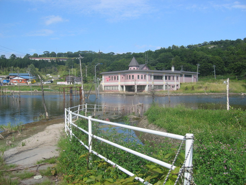
 The 1st picture shows water-covered area. There is the old route 230 under the water.
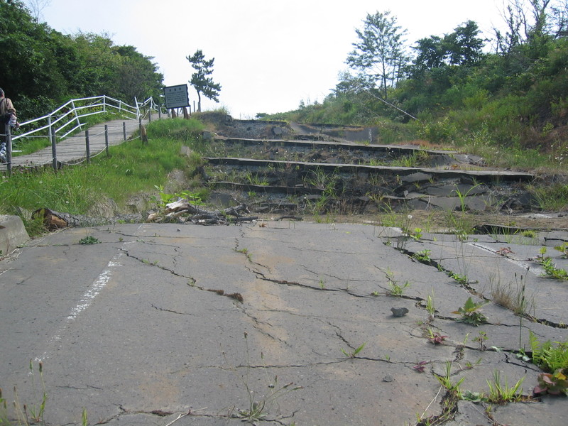
 The 2nd picture shows a shredded route 230 and sidewalk on which I'm walking up.
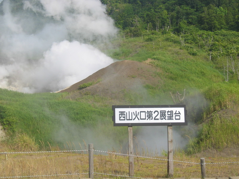
 The 3rd picture shows a newly made explosion crator.
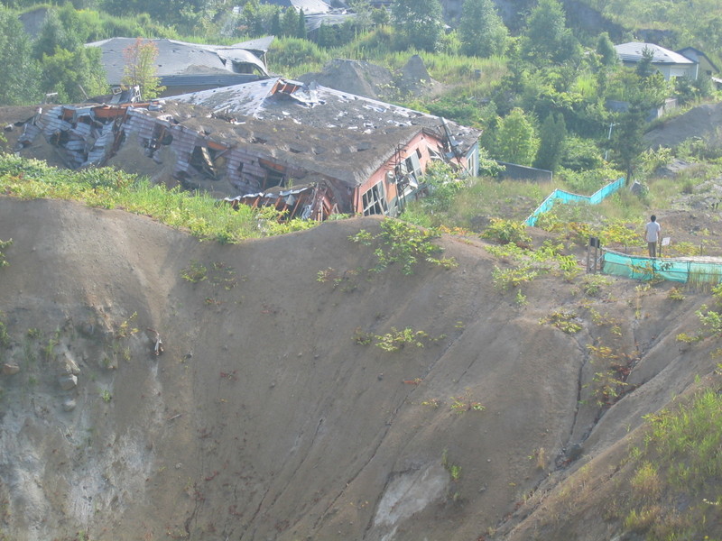
 The last picture shows ruined houses. Those houses are located at a good place and people could enjoy beautiful scenery. I felt sympathy with them because I've just had my house built 3 years ago.
(KW: 洞爺湖 火山 公園 有珠山)

Comments