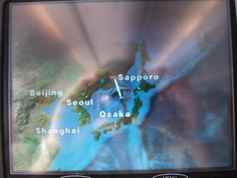
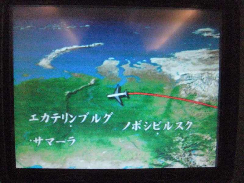
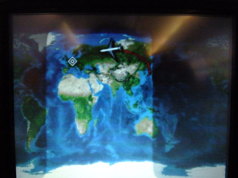
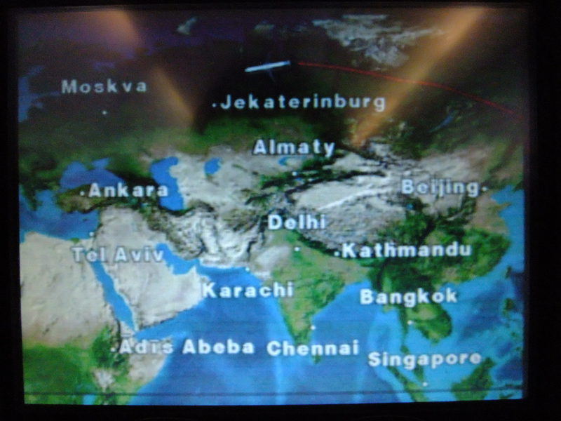
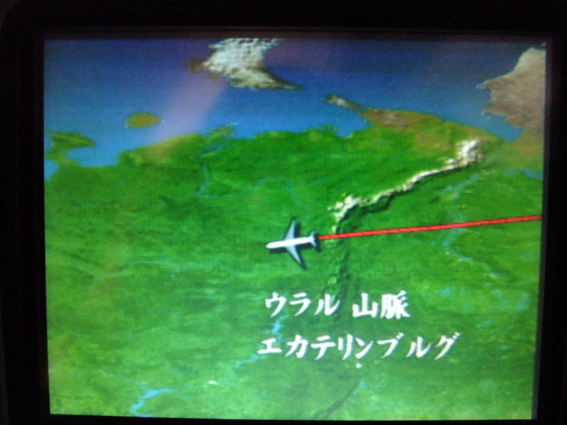
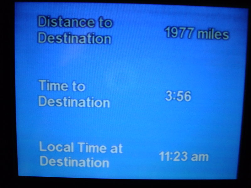
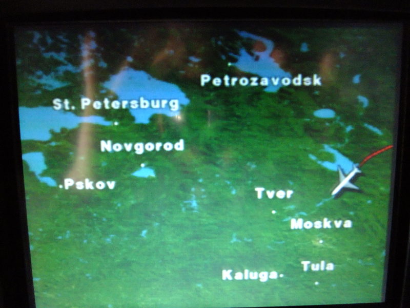
I expected to see many landmarks between Japan and Germany though I didn't know the exact flight route. I had a rough idea about the route like the Korean Peninsula, Eastern Siberia, Mongolia, the Urals and Eastern Europe. I picked up some places that were thought to be seen from the plane. I memorized the shape of the land and their terrain, but in vain. I couldn't see the Great wall of China and Lake Baikal. When the plane reached the north of Lake Baikal, I looked for something recognisable below, but clouds were hanging low. I could only see the mountainous area in the north of Lake Baikal. I tried to find something for about ten minutes. I was not sure, but the area that was seen to be like a white plain might be Lake Baikal. Judging from the flight information that was shown on the screen, I believed it. However, I could see the cold desert of western Siberia breaking through the clouds. The flight was very smooth and comfortable.
I had something to worry about. It was the setting of my data logger and its software. This device had to record two types of movement in one day. One was the moving that moves smoothly at a speed of up to 1000 km/h and never stops and turns at a right angle. The other was a man's walking that sometimes stops and turns in every direction and its speed was only up to 6 km/h. This data logger was set to record the position every second and the software displays the route on the screen after thinning out the data. This procedure of thinning out is necessary for ordinary personal computers. It takes a huge time to plot all the data on the screen. I haven't achieved mastery of this software and can just use it automatically. I'll post the route of this day here: http://kumo.typepad.jp/Euro09/Osaka_Frankfurt.html
As I expected, the radiowave from the GPS satellites was unstable in the midst of high buildings, trees and underground. I think the data might be modified to some extent, but it's beyond me now. I'm showing our trace from now on and understand it sweepingly.
(Vocabulary)
terrain (ある特色を持った) 地形, 土地
difficult/rough/mountainous/rocky terrain
困難な地形[起伏の多い土地,山地,岩地]
recognisable すぐにそれとわかる, 見覚えがある
hang low 雲が低く垂れ込めている
plain 平原
cold desert / tundra 〔通例the ~〕 ツンドラ
breaking through the clouds 雲の合間から
at a right angle 直角に
thin out (苗木などを)間引く
achieve [acquire, gain] a mastery of ~に精通する
to some extent/to an extent ある程度
sweepingly おおざっぱに












Recent Comments