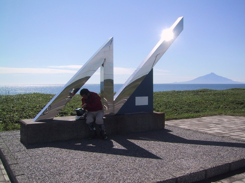
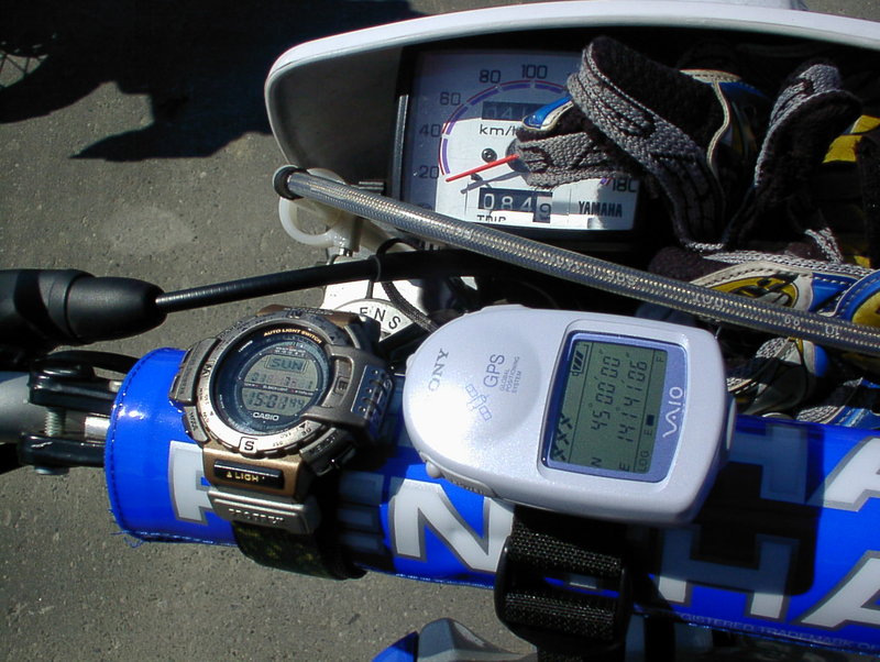
I've been having serious discussions these days, so I'm changing the topic this time. I'll show you pictures that I took in the northern island of Hokkaido a couple of years ago. I was going up to the ultimate north of Japan on the west coast of Hokkaido, on my motorcycle at that time, when I found a monument that informs tourists of their whereabouts. I am silhouetted against the lights in front of the monument. You can also see Rishiri island behind me. The mountain at the heart of the island is called as Rishiri-Fuji, because the shape of the mountain is just like Mt. Fuji, which is also the symbol of Japan. You can easily detect the place we were on your map. We were at the point where the northern latitude of 45 degrees' line crosses the west coast of Hokkaido.
I sometimes dream of my next adventure. Viewing the Japan Sea from the opposite side, across the sea. It means that I have to stand in North Korea. It is extremely difficult in the present condition, but I hope the cruel nation will be wiped out from the earth as soon as possible for the people of North Korea.
(Vocabulary)
northern latitude of 45 degrees 北緯45度
silhouette against the lights 逆光を受けてシルエツトになる
堅い話が続いたので、ちょっと前のツーリングの写真をお見せします。下に写真を載せますが、これは数年前に北海道で撮ったものです。北海道の西岸を北上しているときにこのようなモニュメントを見つけました。旅人に北緯45度であることを告げています。僕は逆光でシルエットになっていますが、後ろの利尻島が見えます。この場所は北緯45度線が北海道の西岸と交差する場所です。すぐにわかりますね。
次に考えている大きな冒険があります。それはこの地を海を挟んだ対岸から見ること。つまりそれは北朝鮮の大地を踏みしめると言うことです。もちろん現状ではまず無理なことですが、この残虐な国家が一日でも早くこの世から消えてしまうことを祈っています。
(KW: 利尻島 北緯45度線 オロロンライン GPS)


Comments