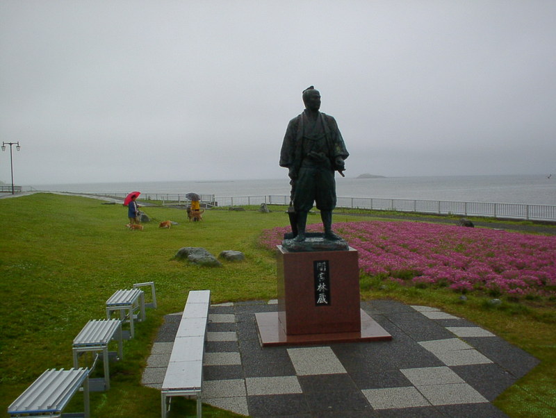
In this entry,I'm going to introduce a Japanese adventurer, Rinzou Mamiya. He was a samurai who lived in the early 19th century. The Russians often showed up around Japan from the north at that time and sometimes attacked the frontier guard of Japan on the Kurile Islands. Rinzo was one of the guards of Etorofu island, which is one of the Kurile Islands. He was talented in surveying and Ainu, so Japan's feudal government dispatched him to Sakhalin to make a map of Sakhalin and investigate the border of Russia. It was his achievement to confirm that Sakhalin is not a peninsula but an island. Though Sakhalin must be a part of Japan based on the international laws, Russia is controlling it now. Anyway, setting that aside now, I'd like to visit Sakhalin. I had seen it a few years ago from the northern tip of Hokkaido. When I saw the statue of Rinzo at the north tip, I decided to visit Sakhalin and cross the Mamiya Strait between Sakhalin and the Eurasia continent.
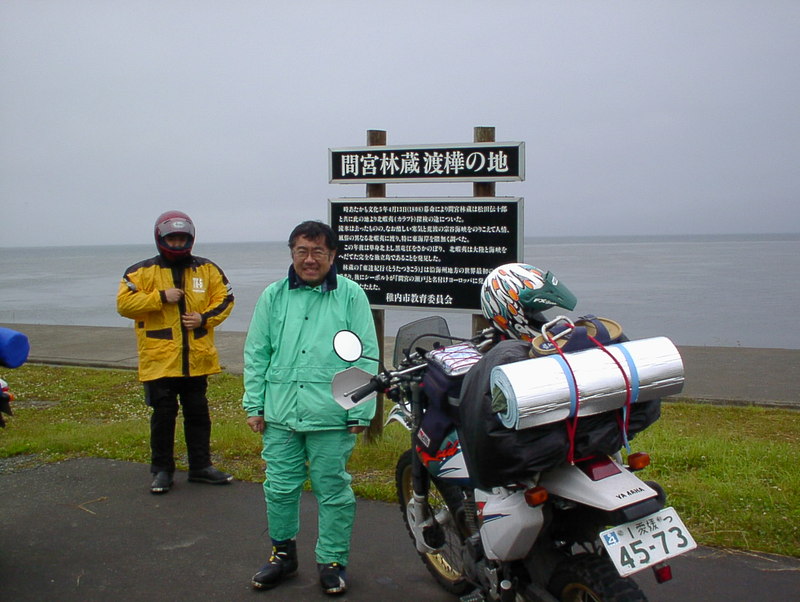
The signboard in the picture reads that Rinzo left for Sakhalin from here. In other words, here was the boarding point and the statue is viewing toward Sakhalin.
(Vocabulary)
He was a warrior who lived in the late 16th century.
彼は16世紀後半を生きた武将です。
Kurile Islands 千島列島
Japan's feudal government 幕府
Sakhalin 樺太 サハリン(ロシア名)
surveying 測量
based on the conventional wisdom これまでの常識に照らせば
farthest north // northern tip 最北端
Eurasia continent ユーラシア大陸


Comments