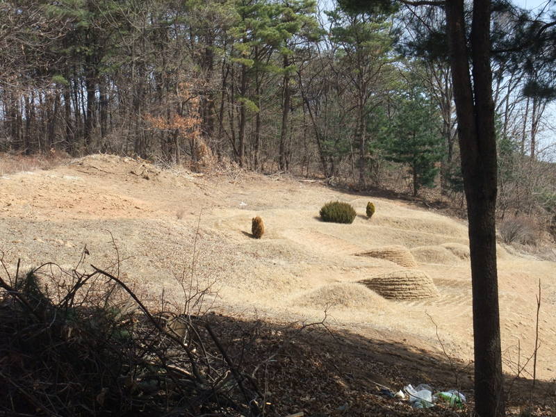
We went out of the restaurant. Another group of customers were gathering outside the restaurant. They looked like they were waiting for their turn. The weather was great. I grew up at a place like this. I felt something emotional on seeing the scenery. We took a walk around taking pictures. Houses were just like what I saw on TV. I'm going to show you them. The 1st picture is the entrance of the restaurant. It looked like the entrance was designed against the coldness, and it was also seen in the northern part of Japan. I checked the latitude of here and knew that we were in the north as I expected. The location of the restaurant was at 37°50'8.23"N and 126°47'36.77"E and we went up to the hill. The pictures I shot here will be attached to Google Earth later. When we almost got to the top of the hill, I found some small bumps on the slope as you can see in the last picture. I've seen these in the Korean textbook and these were tombs. This area looked like a warm place in the sun facing south. If they use the place as farming land, the amount of crops would increase. Though it sounded like it would be terribly cold in the winter, they offer their ancestors a sunny hillside. It would be admirable for the culture of Korea that they hold their ancestors dear. I like their way of thinking on this point.
(Vocabulary)
agricultural land / farming land / farmland 農地
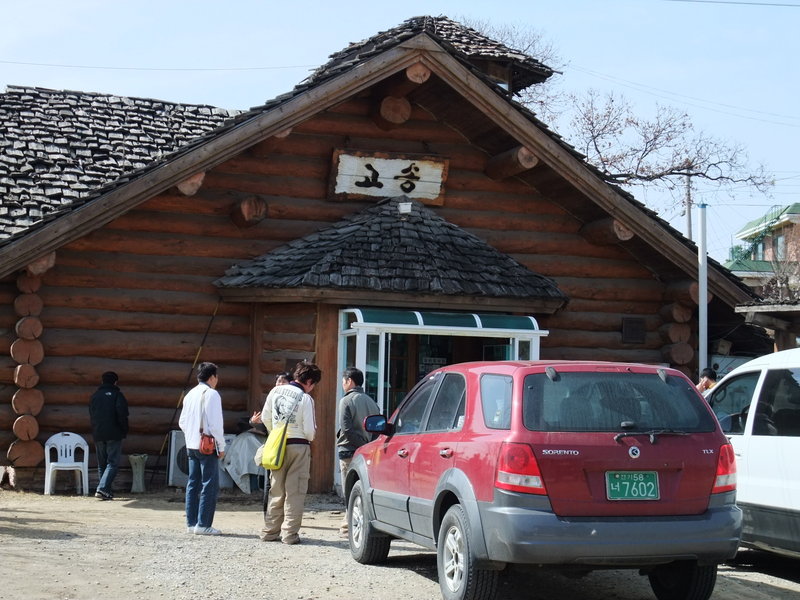 37° 50' 8.20" N 126° 47' 36.80" E
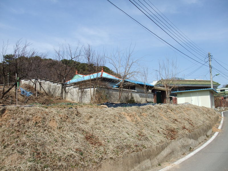
37° 50' 9.25" N 126° 47' 39.27" E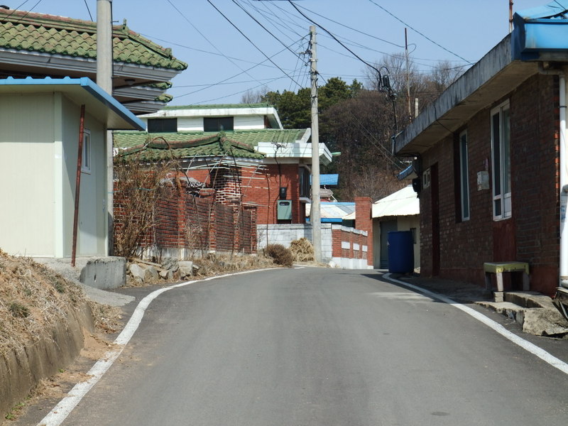
37° 50' 9.79" N 126° 47' 39.81" E 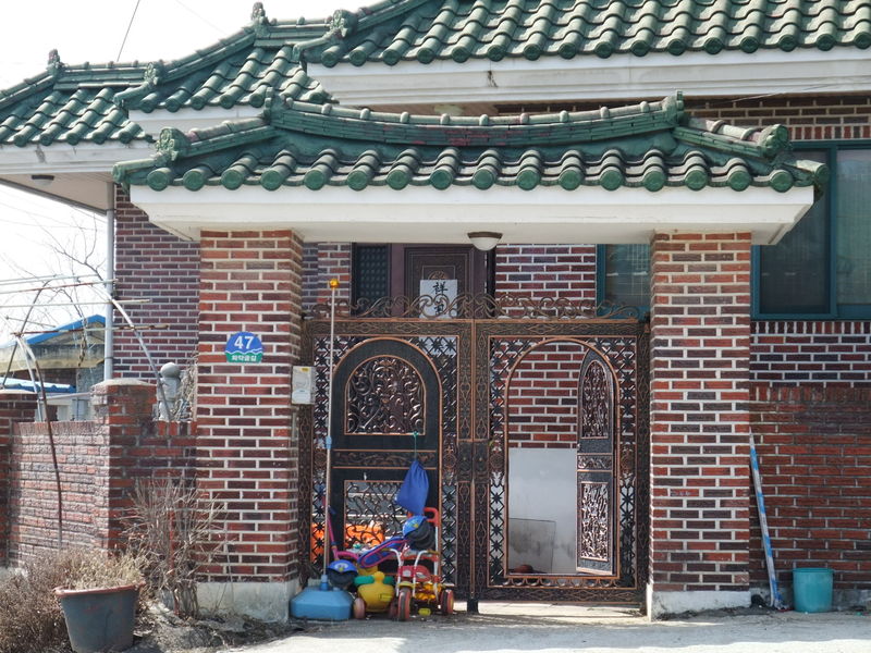
37° 50' 10.93" N 126° 47' 40.89" E 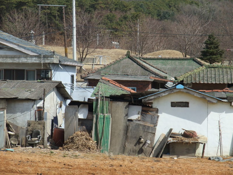

Comments