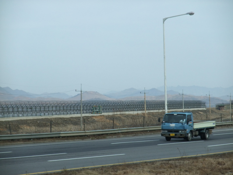
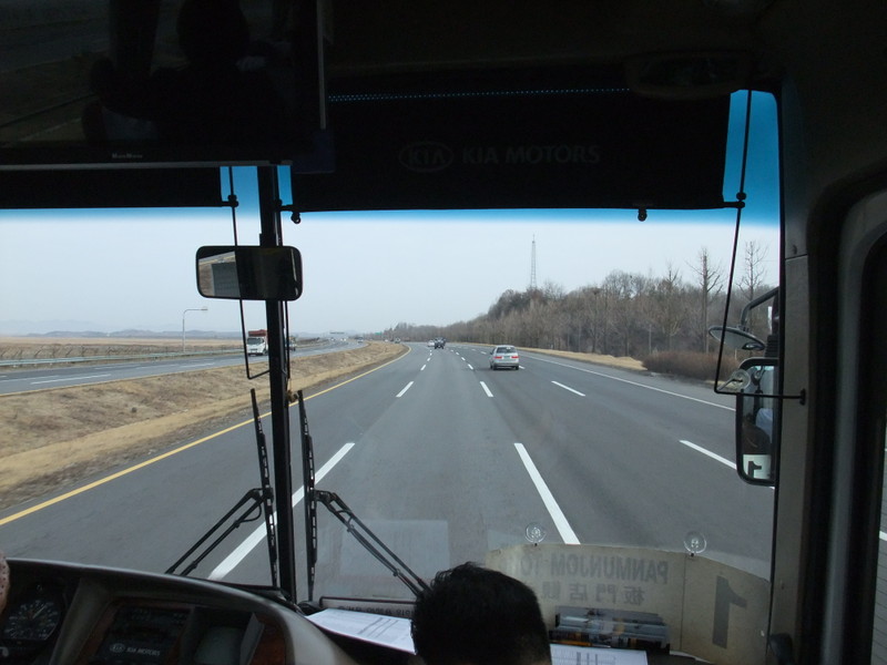
Finally, we ended up viewing the ground of North Korea. I'm showing three pictures in this entry. What do you think when you see these pictures? The first one is the view at 37°48'46.82"N 126°41'8.15"E. As I heard before, the mountains and hills in North Korea didn't have trees and exposed their ground surface. When North Korea was hit by a harvest failure and starvation in the 90's, people ate the bark of trees and the stripped trees died off. Besides, trees are cut also for fuel in the winter, but they never plant trees after cutting them down. It's miserable, I thought, from the bottom of my heart. Both Koreas are ruled by the same people, so how did this difference build? As the road was quite wide enough for traffic, the bus zipped along in top gear. The road was four lanes in each direction until the check point at the entrance of the Unification Bridge. I hope this route will be main artery connecting both Koreas.
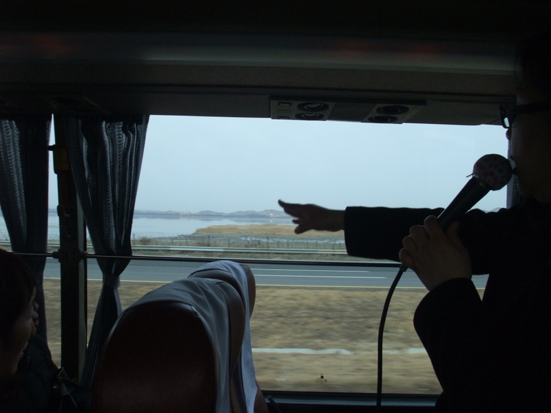
In the third picture, our guide is questioning us. Why do some hills have trees? The answer is, those hills are under the control of the military. There are hidden depots. Tanks, ammunition and similar things are concealed under the trees.
(Vocabulary)
harvest failure 凶作
belt along / in top gear / progress smoothly / zip along 快調に進む


Comments